{"cover":"Professional landscape format (1536×1024) hero image featuring bold text overlay 'Technology-Assisted Building Surveys: Balancing Innovation with Professional Judgment' in extra large 72pt white sans-serif font with dark gradient shadow, positioned in upper third center. Background shows split composition: left side displays surveyor using thermal imaging camera on building facade with colorful heat signature overlay visible, right side shows RICS chartered surveyor examining structural details with clipboard and traditional tools. Modern office building exterior, drone visible in sky, tablet displaying 3D building model in foreground. Color scheme: deep navy blue, bright orange thermal accents, white text, professional teal highlights. High contrast, editorial magazine cover quality, construction industry aesthetic, sharp focus, realistic photography style","content":["Landscape format (1536×1024) detailed interior scene showing professional building surveyor in high-visibility vest using handheld thermal imaging camera to scan interior wall for moisture and insulation defects, thermal camera screen prominently displayed showing rainbow heat signature pattern with temperature gradient from blue (cold) to red (hot), water damage and thermal bridging clearly visible on screen, surveyor making notes on digital tablet, residential property setting with exposed brick and plasterwork, professional lighting, technical documentation visible, realistic photography style with focus on technology-in-action, construction defect investigation aesthetic","Landscape format (1536×1024) wide-angle exterior shot of commercial building facade being surveyed using multiple technologies simultaneously: drone with mounted camera hovering at mid-height capturing photogrammetry data, surveyor on ground operating robotic total station on tripod with laser beam visible, second surveyor reviewing 3D point cloud data on ruggedized laptop showing colorful digital building model, scaffolding and building structure visible in background, clear blue sky, professional construction site setting, safety equipment visible, data visualization overlays showing measurement points and accuracy indicators, modern surveying workflow aesthetic, sharp professional photography","Landscape format (1536×1024) close-up scene of RICS chartered building surveyor's hands examining structural crack in masonry wall using traditional tools: crack width gauge, moisture meter, magnifying glass, and detailed handwritten notes on survey report form, weathered brick texture clearly visible, professional surveyor in background slightly out of focus wearing suit and hard hat consulting with client, natural daylight, emphasis on tactile inspection and human judgment, professional documentation aesthetic, contrast between traditional methodology and modern tablet device visible on side, heritage building context, realistic detailed photography style showing craftsmanship and expertise"]"}
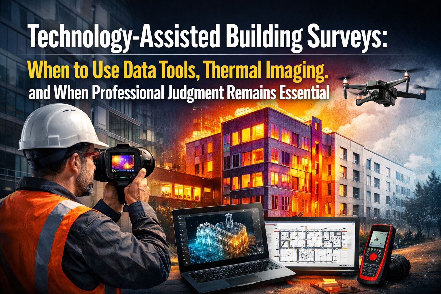
The construction industry invested over £2.1 billion in surveying technology during 2025, yet 67% of building defects are still identified through traditional visual inspection and professional experience rather than automated systems. As we progress through 2026, this paradox reveals a fundamental truth: Technology-Assisted Building Surveys: When to Use Data Tools, Thermal Imaging, and When Professional Judgment Remains Essential represents not a choice between old and new methods, but rather a strategic integration that protects property buyers, owners, and investors from costly mistakes.
The pressure to automate building surveys has never been stronger. Unmanned aerial vehicles, artificial intelligence-powered analytics, and mobile 3D mapping systems promise faster turnaround times and comprehensive data capture[1]. Yet seasoned professionals understand that thermal imaging cameras cannot interpret the significance of a hairline crack, and drone photography cannot assess the quality of previous repair work or predict future maintenance requirements.
This article explores the practical balance between leveraging cutting-edge surveying technology for efficiency and maintaining the professional judgment that builds client trust and delivers actionable insights.
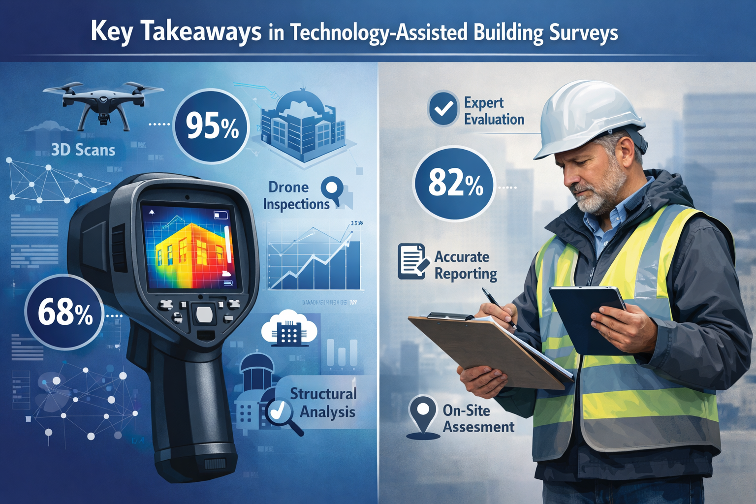
Key Takeaways
- Technology excels at data capture: Thermal imaging, LiDAR scanning, and drone surveys collect comprehensive spatial and thermal data faster than traditional methods, particularly for large or difficult-to-access properties
- Professional judgment interprets significance: Experienced surveyors contextualize technical data within building history, construction standards, and maintenance implications that automated systems cannot assess
- Strategic integration delivers value: Combining advanced data tools with chartered surveyor expertise produces more thorough, accurate, and actionable building survey reports
- Not all properties need all technologies: Understanding when specific tools add genuine value versus when they create unnecessary cost helps clients make informed decisions
- Human expertise remains irreplaceable: Complex defect assessment, risk evaluation, and remediation recommendations require professional experience that technology cannot replicate in 2026
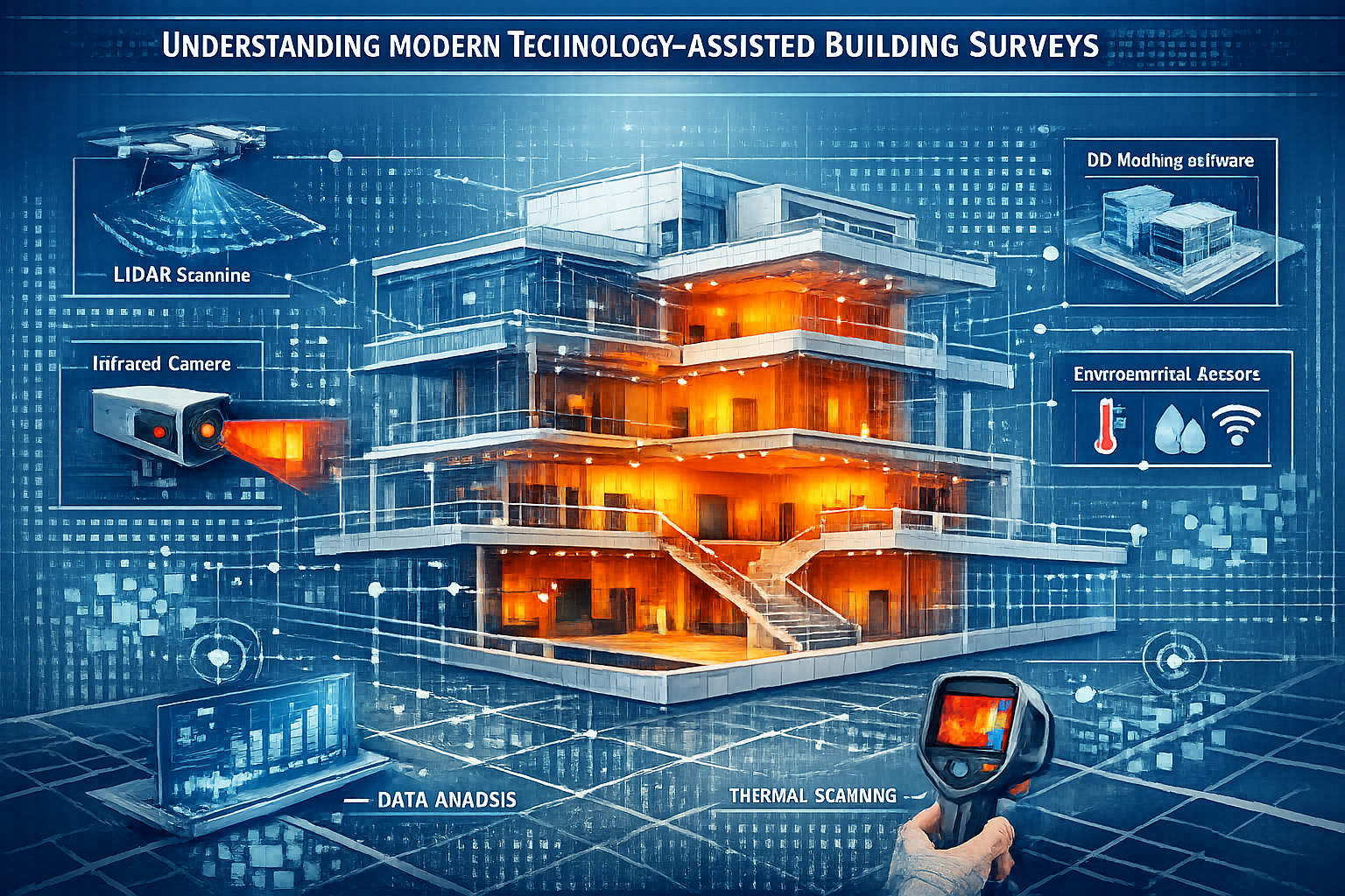
Understanding Modern Technology-Assisted Building Surveys
The Current State of Surveying Technology in 2026
The surveying profession is experiencing accelerating digital transformation through the convergence of artificial intelligence, cloud-based collaboration platforms, and interoperable hardware and software that fundamentally reshape how spatial data is captured, processed, and shared[7]. Industry leaders now prioritize AI adoption to leverage artificial intelligence and automate complex workflows, alongside investing in advanced reality capture and positioning technologies to ensure millimeter-level accuracy onsite[2].
Core technologies transforming building surveys include:
- 🛸 UAV photogrammetry and multispectral mapping for exterior facade assessment and roof condition analysis
- 📡 LiDAR mapping and 3D laser scanning creating detailed point clouds of building geometry
- 🌡️ Thermal imaging systems detecting moisture intrusion, insulation defects, and thermal bridging
- 📱 Mobile 3D mapping systems generating digital replicas of interior spaces without bulky equipment
- 🛰️ GNSS RTK systems providing precise positioning data for boundary and structural surveys
- 🤖 AI-enhanced analysis platforms processing survey data to identify potential defects and anomalies
These technologies offer undeniable advantages. Unmanned aerial vehicles can perform photogrammetry, 3D mapping, multispectral maps, thermal maps, and 2D/3D orthomosaic maps, with particular advantages for surveying difficult terrain and hard-to-reach places while covering larger areas in shorter timeframes[1]. For clients requiring structural surveys of large commercial properties or complex residential buildings, this efficiency translates directly into cost savings and faster transaction timelines.
The Democratization of Reality Capture
New user-friendly tools are enabling more comprehensive data collection, with capture capabilities increasingly available from mobile phones and robust mobile mapping systems for faster and improved decision-making[4]. This democratization means that basic data collection no longer requires specialized expertise, fundamentally changing the surveyor's role from data gatherer to data interpreter and strategic advisor.
Reality capture technology is becoming integral to project management workflows, enabling contractors to visually track progress, quickly identify issues, and collaborate on solutions in real time[4]. For building surveyors, this means clients increasingly arrive with their own photographic documentation, drone footage, or even basic thermal images—expecting professional interpretation rather than just data collection.
When Data Tools and Thermal Imaging Excel: Optimal Use Cases
Thermal Imaging: Detecting the Invisible
Thermal imaging cameras have revolutionized moisture detection, insulation assessment, and energy efficiency evaluation. These tools excel in specific scenarios where temperature differentials reveal underlying building defects invisible to visual inspection.
Optimal applications for thermal imaging include:
| Application | Why Technology Excels | Limitations |
|---|---|---|
| Moisture detection | Identifies damp areas through temperature differentials before visible staining appears | Cannot determine moisture source or extent without invasive investigation |
| Insulation defects | Maps thermal bridging and missing insulation across large wall areas quickly | Requires specific weather conditions and temperature differentials to function effectively |
| Heating system issues | Detects blocked radiators, underfloor heating failures, and distribution problems | Cannot assess system capacity, design adequacy, or remaining service life |
| Air leakage identification | Reveals drafts and air infiltration points around windows, doors, and junctions | Requires pressurization testing for quantitative assessment |
| Flat roof assessment | Identifies trapped moisture within roof construction without destructive testing | Cannot determine roof membrane condition, remaining life expectancy, or repair feasibility |
For damp surveys, thermal imaging provides invaluable data that guides targeted invasive investigation. However, the technology cannot replace the professional judgment required to differentiate between condensation, rising damp, penetrating moisture, or plumbing leaks—each requiring fundamentally different remediation approaches.
Drone Surveys: Accessing the Inaccessible
Drone surveys have transformed how surveyors assess roofs, chimneys, tall facades, and other difficult-to-access building elements. Mobile 3D mapping systems create detailed 3D models from indoor and outdoor environments without bulky equipment, allowing surveyors to generate digital replicas and detailed images in short timeframes[1].
Drone technology adds genuine value when:
- Scaffolding or cherry picker access would be prohibitively expensive for initial assessment
- Safety concerns make traditional access methods hazardous
- Large roof areas require comprehensive photographic documentation
- Repeat inspections need consistent viewpoints for condition monitoring
- Clients require high-resolution imagery for insurance or legal documentation
However, drone imagery cannot assess material quality, identify subtle defects requiring tactile inspection, or evaluate structural movement that requires precise measurement. A homebuyer survey relying solely on drone photography would miss critical defects detectable only through close-range inspection and professional interpretation.
3D Laser Scanning and Point Cloud Data
LiDAR mapping and 3D laser scanning technologies capture millions of data points per second, creating comprehensive digital records of building geometry. Well-maintained GNSS systems and robotic total stations already meet the accuracy and consistency standards that AI-assisted workflows rely upon[9].
These technologies prove particularly valuable for:
- Heritage building documentation requiring non-invasive measurement
- Complex structural geometry assessment for renovation planning
- Schedule of condition reporting establishing baseline building status
- Dimensional verification for building information modeling (BIM) integration
- Dilapidation surveys requiring precise before-and-after comparison
The technology excels at capturing "what exists" with exceptional precision. However, interpreting what that data means—whether dimensions indicate structural movement, whether geometry suggests previous alterations, whether tolerances meet building regulations—requires professional expertise that no automated system provides in 2026.
Technology-Assisted Building Surveys: When Professional Judgment Remains Essential
The Irreplaceable Human Element
Despite technological advances, the most critical aspects of building surveying remain fundamentally human endeavors. Professional judgment encompasses:
- Contextual interpretation: Understanding how building age, construction type, local geology, and maintenance history inform defect significance
- Risk assessment: Evaluating whether identified defects require immediate action, monitoring, or pose minimal concern
- Remediation strategy: Recommending proportionate, cost-effective repair approaches based on building use and client circumstances
- Regulatory compliance: Interpreting building regulations, planning constraints, and conservation requirements
- Commercial awareness: Advising on defect impact on property value, transaction risk, and negotiation strategy
A thermal image showing temperature variation across a wall provides data. An RICS chartered surveyor interprets whether that variation indicates a minor thermal bridge, significant insulation defect, or active water penetration—and advises whether the issue warrants £500 in remedial work or £15,000 in comprehensive repairs. This distinction cannot be automated.
Complex Defect Assessment Requires Experience
Consider a structural crack identified through 3D laser scanning. The technology precisely measures crack width, length, and geometry. However, determining whether the crack represents:
- Historic movement now stabilized requiring cosmetic repair only
- Active ongoing movement requiring structural intervention
- Thermal expansion within acceptable tolerances
- Foundation settlement indicating serious structural concern
- Poor workmanship during construction with minimal structural significance
…requires professional experience that integrates visual assessment, building history, construction knowledge, and structural engineering principles. This expertise becomes particularly critical for subsidence surveys where crack patterns, building response, and site conditions must be holistically evaluated.
Material Condition and Remaining Service Life
Technology can measure dimensions, detect temperature, and capture imagery. It cannot assess:
- Material deterioration: Whether timber shows early decay, concrete exhibits carbonation, or masonry displays frost damage
- Remaining service life: How many years a roof covering, heating system, or structural element will continue functioning
- Repair quality: Whether previous work was executed to appropriate standards or represents temporary fixes
- Maintenance requirements: What ongoing maintenance will preserve building condition and prevent accelerated deterioration
These assessments require tactile inspection, material knowledge, and professional judgment developed through years of practice. For specific defect reports addressing particular building concerns, this expertise proves indispensable.

Regulatory and Legal Considerations
Building surveys frequently inform significant financial decisions and legal proceedings. Expert witness reports require professional opinions that withstand cross-examination and legal scrutiny—something no automated system can provide.
Professional judgment becomes essential when:
- Assessing compliance with building regulations and planning permissions
- Evaluating whether defects constitute breach of contract or negligent workmanship
- Determining reasonable repair costs and appropriate remediation timescales
- Advising on party wall matters and boundary disputes
- Interpreting conservation requirements for listed buildings
The liability and professional indemnity insurance that RICS chartered surveyors carry protects clients when professional opinions prove incorrect. Technology vendors provide no such protection, creating significant risk when automated assessments replace professional judgment.
Integrating Technology with Professional Expertise: Best Practices
Strategic Technology Deployment
The most effective approach combines technology and professional judgment strategically. Best practices include:
✅ Use technology for comprehensive data capture: Deploy drones, thermal imaging, and 3D scanning to gather more data than traditional methods allow
✅ Apply professional judgment to data interpretation: Ensure qualified surveyors analyze technical data within appropriate building context
✅ Match technology to property requirements: Avoid unnecessary technology deployment that increases costs without improving outcomes
✅ Maintain traditional inspection methods: Preserve close-range visual inspection, tactile assessment, and material testing alongside technological tools
✅ Communicate limitations transparently: Explain to clients what technology can and cannot reveal about building condition
For those wondering which survey do you need, the answer increasingly depends on which combination of traditional expertise and modern technology best addresses specific property concerns and transaction requirements.
The RICS Chartered Surveyor Advantage
Understanding why to choose an RICS chartered building surveyor becomes particularly important in the technology era. RICS professionals combine:
- Regulatory qualification: Formal education, professional assessment, and continuing professional development requirements
- Professional standards: Adherence to RICS practice standards and ethical guidelines
- Technology competence: Training in modern surveying tools alongside traditional methodologies
- Professional indemnity: Insurance protection for clients relying on professional advice
- Accountability: Professional conduct oversight and dispute resolution mechanisms
This framework ensures technology enhances rather than replaces professional judgment, protecting client interests while leveraging efficiency gains from modern tools.
Cost-Benefit Analysis for Technology Adoption
Not every survey requires every technology. Practical cost-benefit considerations include:
When technology investment adds value:
- Large or complex properties where efficiency gains justify equipment costs
- Difficult-to-access areas where traditional inspection proves impractical
- Situations requiring detailed documentation for legal or insurance purposes
- Repeat inspections where consistent data capture enables meaningful comparison
- Properties where specific defects (moisture, insulation, structural movement) warrant targeted technological investigation
When traditional methods remain most appropriate:
- Straightforward residential properties with accessible building elements
- Situations where close-range inspection reveals defects more effectively than remote sensing
- Properties where building age, construction type, or condition make technological approaches impractical
- Budget-constrained clients requiring focused assessment of specific concerns
- Heritage buildings where invasive or technological approaches may cause damage
For structural engineering assessments, the decision often depends on whether the structural concern requires precise dimensional data (favoring laser scanning) or material condition assessment (favoring traditional inspection methods).
The Future of Technology-Assisted Building Surveys Beyond 2026
Emerging Trends and Continued Evolution
The surveying profession continues evolving rapidly. Innovations in 3D geographic information systems and modeling technology are creating richer, more precise models of public assets, with GIS-centric asset life cycle management being redefined by AI, real-time spatial insights, and secure data sharing[4].
Anticipated developments include:
- Enhanced AI interpretation: Machine learning systems trained on vast defect databases may provide preliminary defect identification, though professional verification will remain essential
- Integrated sensor networks: Buildings equipped with permanent monitoring systems providing continuous condition data rather than point-in-time surveys
- Augmented reality inspection: Overlaying historical survey data, building plans, and hidden services information during physical inspections
- Automated reporting: AI-assisted report generation that drafts preliminary findings for professional review and refinement
- Blockchain verification: Immutable records of building condition and survey findings supporting property transactions
However, these advances will augment rather than replace professional expertise. The fundamental requirement for human judgment in interpreting significance, assessing risk, and recommending appropriate action will persist.
Maintaining Professional Standards in the Technology Era
As technology becomes more accessible, maintaining professional standards grows increasingly important. The distinction between data collection and professional surveying services must remain clear to protect consumer interests.
Professional bodies like RICS continue adapting standards to address technology integration while preserving the core principles of professional practice:
- Competence: Ensuring surveyors understand both technology capabilities and limitations
- Independence: Maintaining professional objectivity despite pressure for favorable findings
- Transparency: Clearly communicating methodology, limitations, and confidence levels
- Accountability: Taking professional responsibility for opinions and recommendations
- Client care: Prioritizing client interests above efficiency or cost considerations
These principles ensure that technology serves clients rather than replacing the professional relationship that underpins effective building surveying.
Conclusion
Technology-Assisted Building Surveys: When to Use Data Tools, Thermal Imaging, and When Professional Judgment Remains Essential represents the defining challenge for building surveyors in 2026. The answer lies not in choosing between technology and expertise, but in strategically integrating both to deliver superior client outcomes.
Thermal imaging, drone surveys, 3D laser scanning, and AI-enhanced analytics provide unprecedented data capture capabilities, efficiency gains, and access to previously inaccessible building elements. These tools enable more comprehensive assessment in shorter timeframes, reducing costs while expanding survey scope.
However, professional judgment remains irreplaceable for interpreting data significance, assessing defect implications, evaluating repair strategies, and providing the contextual understanding that transforms raw data into actionable advice. The human elements of building surveying—experience, material knowledge, regulatory understanding, and commercial awareness—cannot be automated with current or foreseeable technology.
The most effective approach combines technological efficiency with professional expertise. Clients benefit when chartered surveyors deploy appropriate technology strategically while maintaining the traditional inspection methods and professional judgment that identify subtle defects, assess complex conditions, and provide reliable advice for significant property decisions.
Take Action: Choosing the Right Survey Approach
When commissioning a building survey in 2026:
- Discuss technology options with your surveyor to understand which tools add genuine value for your specific property
- Prioritize professional qualifications by selecting RICS chartered surveyors who combine modern technology competence with traditional expertise
- Request clear methodology explanations understanding what technology will be deployed and why
- Ensure comprehensive reporting that interprets technical data within appropriate context rather than simply presenting raw findings
- Verify professional indemnity coverage protecting your interests if survey findings prove inaccurate
For professional building surveys that strategically integrate cutting-edge technology with experienced professional judgment, contact our team to discuss your property requirements. Our RICS chartered surveyors combine the latest surveying technology with decades of practical experience, ensuring you receive comprehensive, reliable advice for confident property decisions.
The future of building surveying lies not in replacing human expertise with technology, but in empowering professionals with better tools to serve client interests more effectively. That balance—technology-assisted but professionally judged—delivers the thoroughness, accuracy, and insight that property buyers, owners, and investors deserve.
References
[1] The Future Of Land Surveying Technology And Upcoming Trends In 2026 – https://metricop.com/blogs/land-surveying/the-future-of-land-surveying-technology-and-upcoming-trends-in-2026
[2] Future Construction Technology Trends Contractor Survey – https://www.trimble.com/blog/trimble/en-US/article/future-construction-technology-trends-contractor-survey
[4] Biggest Tech Construction Trends Watch 2026 – https://www.constructionbusinessowner.com/resources/biggest-tech-construction-trends-watch-2026
[7] Doubling Down On Digital – https://amerisurv.com/2026/02/01/doubling-down-on-digital/
[9] 2026 Surveying Trends How Survey Firms Are Adapting Without Overcommitting – https://munsonedsurvey.com/blogs/news/2026-surveying-trends-how-survey-firms-are-adapting-without-overcommitting